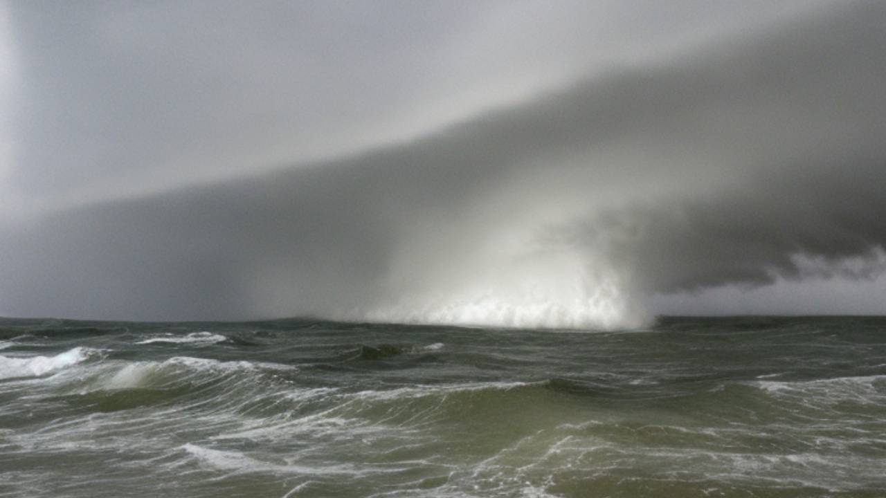
The NHC is monitoring two areas of low pressure in the central and eastern Atlantic that have shown signs of gradual development. Both systems could become tropical depressions in the next few days as they move westward across the tropical Atlantic.
The first system, located about 750 miles west-southwest of the Cape Verde Islands, has a 50% chance of formation in the next five days. The second system, which emerged off the coast of Africa on Tuesday, has a 40% chance of formation in the same period.
Both systems face challenges from dry and dusty air that has been blowing off the Sahara desert and inhibiting storm formation. However, they also have favorable sea surface temperatures and low wind shear that could help them intensify.
If either system becomes a named storm, it would be called Emily or Franklin, depending on which one forms first. The Atlantic hurricane season typically peaks from mid-August to late October, with an average of four named storms forming in August.
Meanwhile, the NHC is also keeping an eye on a potential system that could develop in the Gulf of Mexico by early next week. A broad area of low pressure is expected to form over the central or western Gulf and move westward toward the western Gulf coast.
The NHC gives this system a 20% chance of formation in the next five days. It is too early to determine if this system will pose any threat to land or what impacts it could bring.
The NHC advises residents and visitors along the Gulf coast to monitor the progress of this system and follow any advice from local officials.
The NHC provides updates on tropical activity every six hours at 2 a.m., 8 a.m., 2 p.m. and 8 p.m. EDT. You can also visit their website here for more information and resources.
